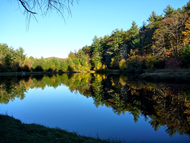
A lake by the campground.
This was the second training run for the Mountain Masochist 50+ mile race. Two weeks ago I ran the first half of the course. Today I ran the back half. In another two weeks I'll have to put them together.
The plan was to meet at the finish and carpool to the start of the run (where we left off last time.) Conveniently the race finishes at the Montebello campsite. I drove up on Friday and camped out in a tent. This allowed me to sleep in a bit longer than otherwise. It was cheaper too!
A lake by the campground.
Because I had a bit of extra time Friday night I drove down the parkway and up a long, steep gravel road to the Mt Pleasant Trail trailhead. An Appalachian Trail trailhead is a few hundred meters away as well. We run part of this gravel road on race day too.
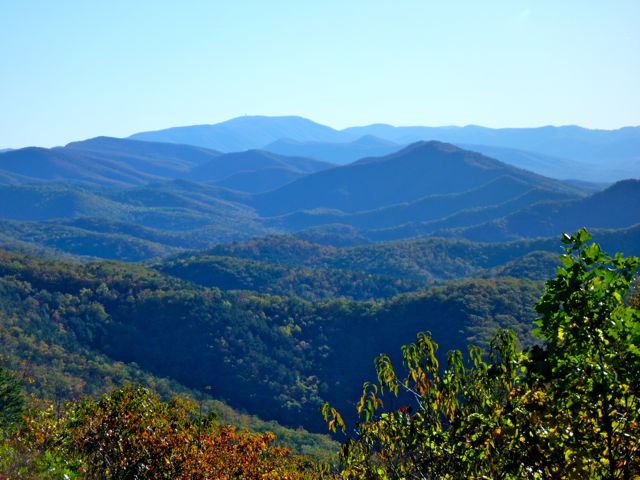
Evidence of how the Blue Ridge Mountains got their name (taken from along the Parkway)
The Mt. Pleasant Trail consists of a 5ish mile loop that hits two peaks: Mt. Pleasant and Mt. Pompey. The race doesn't run up Mt. Pleasant, but we do cross over Mt. Pompey. I took a run down the trail just to see what it was like. I've heard a lot of warning about how tough "the loop" is.
The first part of "the loop" is quite easy. It gets tougher as you go though. I managed to get on a side trail that was also marked with the blue blazes I was suppose to be following. Due to the setting sun I decided to quit wandering around taking photos and head back the way I had come to the car.
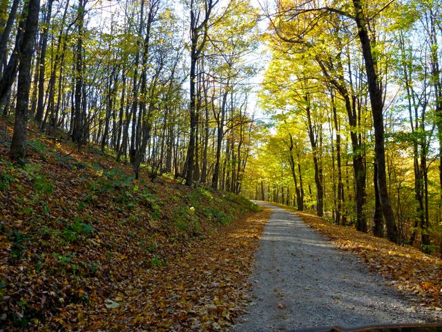
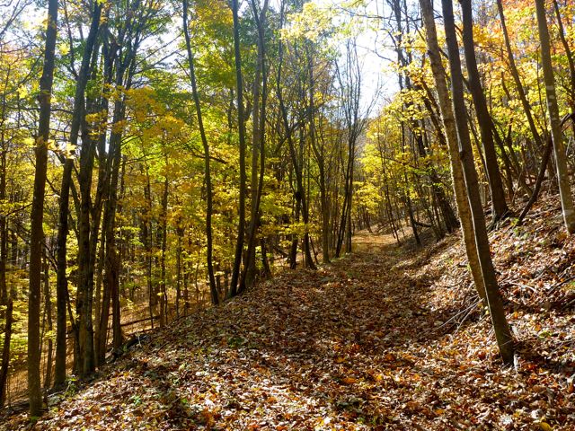
The easy beginning of the loop.
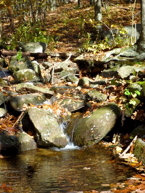
Everyone likes little waterfalls!
The next morning, a bit past 6:30am the caravan from Lynchburg arrived and we gathered in a few cars to drive to Long Mountain Wayside on Route 60. It's the half-way point of Mountain Masochist. The drive was south on the Blue Ridge Parkway and we were greeted with a lovely sunrise over the valley to the east.
There were about 30 folks on the run this week. Most were new to the course. This was a bit of a concern because even having a map (I did) isn't all that helpful. It doesn't show all the litte trails, access roads or hunting roads. Fortunately a fellow from a forum I visit was there; Marc has run the thing 5-6 times. He didn't claim to be an expert but he had the general idea of where to go.
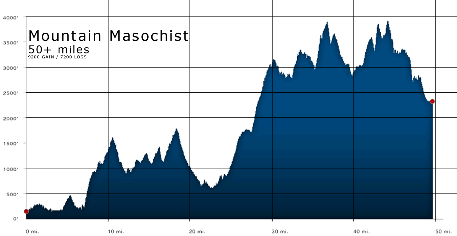
We ran from about mile 27 to the end. The day started in the middle of the chart right where there is a slight dip.
The run starts with a 3 mile climb up Buck Mountain. It's one of the longest climbs on the course. I was able to stick with Marc, Jack, and a few other folks. The group would change now and again but it was nice to have folks around. Fortunately Mac wasn't racing -- he's quite a bit faster than I am but had just run Grindstone 100 three weeks ago and was just out to enjoy the day. I suspect he hung back a bit more than he might otherwise have to help me out.
The first climb seemed quite a bit easier than I expected. As someone pointed out though, it feels harder at mile 30 in the race! The miles click on by until we hit the gravel road I had driven up the night before. We ran up it to "the loop", ran the loop, then continued on down the gravel road.
The day was officialy unsupported (read: if you want it, carry it yourself) so I wore my hydration vest completely full -- 2 liters of water. It was a nice surprise to see a mini-aid station with water and snacks as we entered (and exited) the loop. I enjoyed a moon pie type object that probably contained 5000 calories. It was yummy.
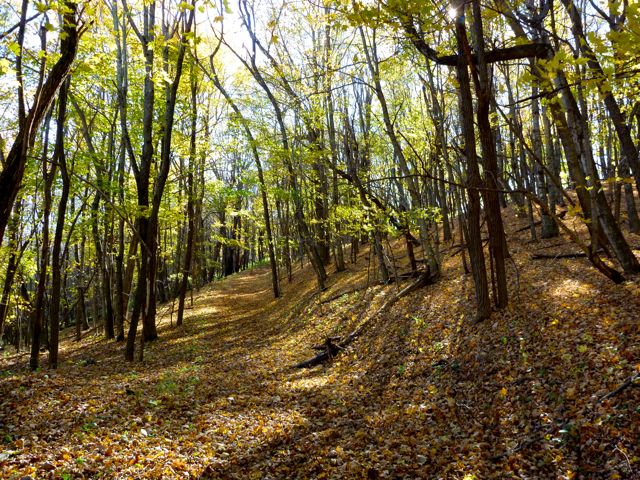
The loop itself isn't all that bad (this is probably also relative to where it comes in the course.) It's pretty too! There is definite climbing going on though. I noted the trail I had incorrectly taken the previous day and made a note to avoid it next time!
Exiting the loop means there is about 12 miles to go. The first 6 of those weren't too bad. Then we had a short, brutal climb. It's at least Yorktown beach steep and probably moreso. At the top the trail kind of disentegrated and the 4 of us together at the time played "find the blue blaze." Again I was glad to be with the group. At least we were confused together!
The last 4 miles are pretty much all downhill on a forest service road. That means you can can get a vehicle on it, but it'll be rough. A four wheel drive jeep would be my choice. I'm a slow descender on rocky trails and this had the extra feature of ankle deep leaves covering all the rocks. I tweaked my ankle a few times but nothing serious. It did make me slow down a bit though. The guys were a bit in front of me and rounded a corner. Just as they disappeared I fell. Fortunately I managed a bit of a roll and didn't get hurt at all -- no bruises even. I got up, took a few photos and moved on.
Post fall photos. Enjoy the pun. (Seriously, I didn't make up the story just for that)
Around the corner the road turned to bedrock. I'm glad I didn't fall here! Around another corner and Rob (I think that's his name) was running back at me! If I had hit my head this might be disconcerting! He'd lost the guys in front of him. One moment they were there and he thought he was catching up then they were gone.
We ran together keeping our eyes open for side trails marked with ribbons (the day-of marking system). We rounded a few more corners and stopped to check the map. I had a compass and confirmed we were moving in the right general direction (north). We started running again and naturally came across a ribbon 50m further down the trail. This indicated a 180 deg turn down a switch back. A few dozen meters further we found Marc sitting on a rock waiting for us. He said the other guys were going faster than he felt like going. I imagine he's still recovering from Grindstone but I think he was just being nice. The two girls that had dropped off our group for bathroom stops caught back up and we continued on.
I slowly drifted off the back of the group on the rocky descents. I was getting a bit tired and clumsy. I was out of water now but still had gummi bears. I noticed an odd tingling in my limbs. Maybe it was low blood sugar? Dehydration? It wasn't too worried about it with 2 miles to go and it seemed to go away on its own a mile later.
The run finishes up with about a mile on actual paved road. I ran into the parking lot with Jamie, one of the girls in our group all day who was taking the descents easy for the sake of her knee. We found Marc and Rob but Jack and the other guy weren't there. Apparently they had not made that 180 deg turn despite the marking. I marked myself off on the check in/out sheet -- so nobody gets left!
I hung out a bit and stretched then walked back to my tent and drank 3 bottles of water, ate a poptart and polished off half a can of very salty almonds. Yum! I took a 30 min nap then packed up and left. Everyone must have finished because nobody was waiting around. Jack's car was gone; a good sign as he was Marc's ride! I haven't heard the story of what happened yet. I'm guessing they figured it out and turned around sometime!
It was a really nice day for a run and all in all the 4:50 (4 hours, 50 minutes) I spent on the trail were great. Temps started in the 40's I think and ended up in the low 70's. The pace was fast enough to ensure a finish on race day -- but I'll be much more tired before I start that half on race day. I'm unlikely to run the back half under 5 hours. Under 5:30 is iffy as well.
It was nice to meet more folks and become comfortable with the trail. It's entirely different than it looks on the maps or Google Earth. You really have to be out there to know. Knowing the people on the course is great too. Everyone was quite friendly. Most of then live somewhat locally and run these mountains, or similar slopes, a lot. I really felt like a flat lander on any of the ascents and descents. Well, that and the rocky sections (so, basically the entire course.)
dave.macluskie AT gmail.com