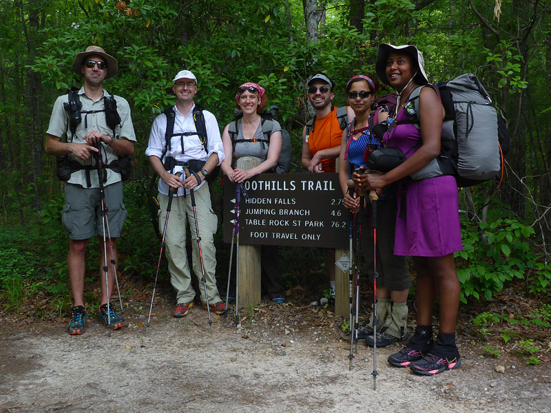
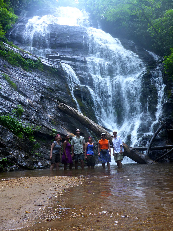
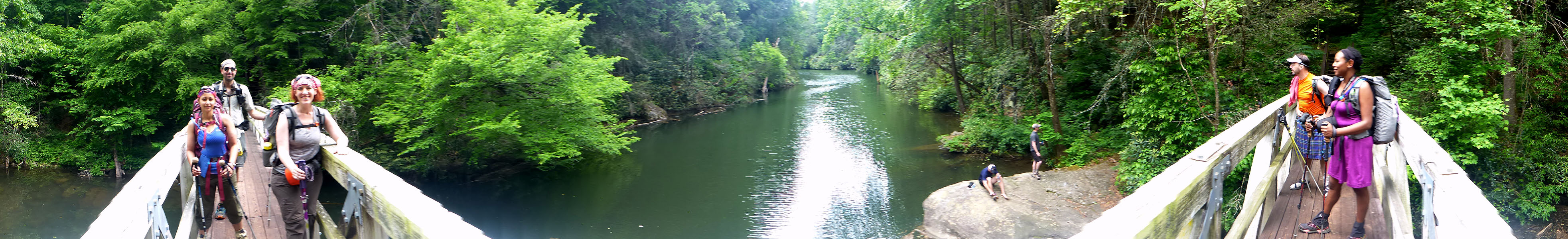
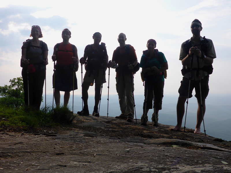
Will, me, Jen, Brian, Upasana, Mimi.
- Dave MacLuskie
It has been difficult to collect my thoughts and condense the experiences of the long weekend. On the long drive home my mind buzzed. Lightning from a distant storm flashed, illuminating towering pillars of clouds. The rumble of thunder invoked a rush of adrenaline stirring recent memories of crossing the large suspension bridge over Toxaway River in a drenching rain amid deafening rumbles from the sky. My legs twitched remembering the burning muscles and labored breathing on the steep climb up Heartbreak Ridge, slick with mud in the torrential, if short lived, storm. But that's getting ahead of things.
Our group of six (Will, Brian, Upasana, Mimi, Jen, and me) gathered at Claytor Lake State Park south of Roanoke, Virginia on Thursday evening. Given the long 8-9 hour drive to South Carolina we car-camped half way. The northern contingent (i.e. everyone but me) arrived after 10pm due to rough traffic leaving DC and road work on I-81 shortly before their exit. Tents were quickly erected and sleep ensued. The warm humid night, grassy field, and clear skies resulted in much condensation the next morning. We stopped at the gas station/omelet shoppe before hitting the highway again for what were possibly the slowest cooked omelets ever.
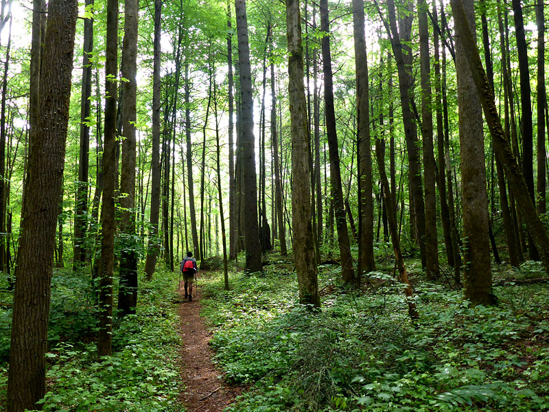
Back on the road we covered the miles to Table Rock State Park in exactly 4 hours, positioned a car for the reverse shuttle, and drove another hour down to Oconee State Park. We began the journey on the Foothills Trail at about 2:30 pm.
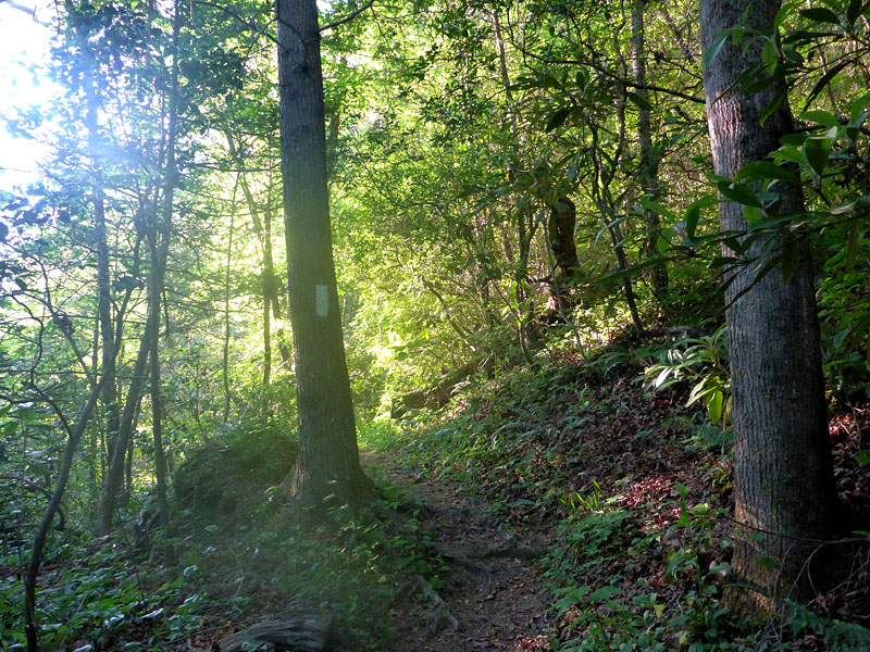
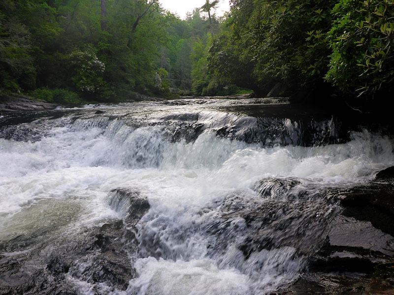
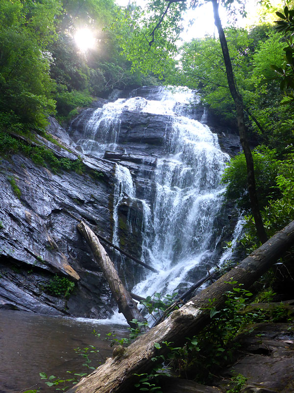
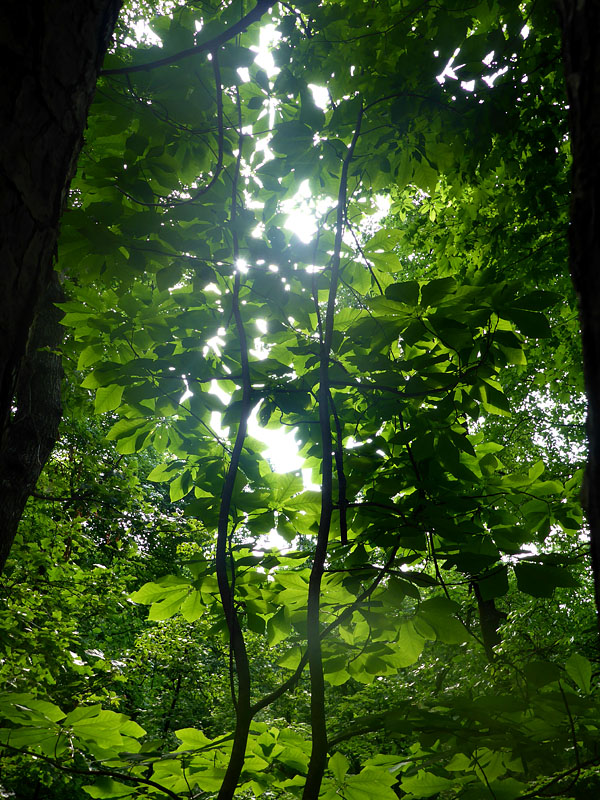
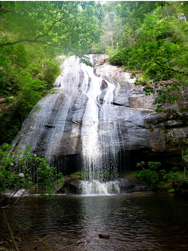
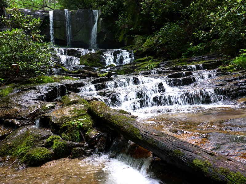
About a half mile in Will found his parking pass in his pocket and ran back to his car and still caught us before we hit the first road crossing. The trail was green and lush with mountain laurel and rhododendrons blooming. Our first named waterfall of the trip was Log Lick Falls. It received much attention and was well documented in photographs. It was the first of many. Every morning started with "Who's ready to see the waterfall?".
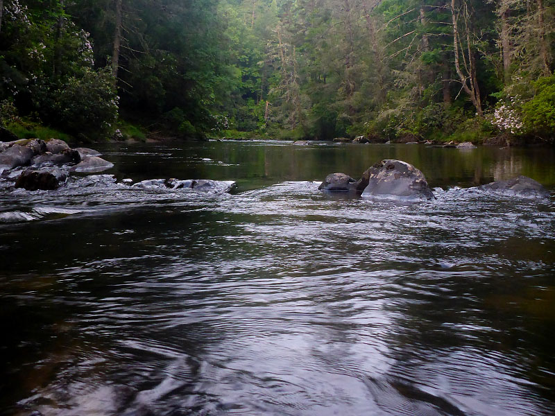
We finally "arrived" at the Chatooga River then quickly departed again up a steep climb. Soon out of ear shot of the river I knew the group was wondering when we'd make camp which was to be by the river. Eventually the trail descended and we stopped at the first large site and quickly setup camp after an 11 mile day.
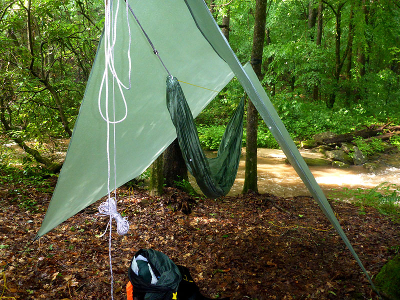
This was the first long trip I’ve taken with a hammock as my sleep system. It consists of a hammock, a tarp, an down-filled underquilt below the hammock to reduce heat loss due to convection, and a down-filled top quilt. In my case I had made all of the gear except the hammock (which is rather amusing because the hammock is actually the easiest of all of them to make). Overall the weight is nearly the same as my tent setup. The hammock affords the opportunity to stay off the ground and doesn’t require flat terrain. It’s also very comfortable and I’ll definitely be considering for any trip with night time temperatures above 40 degrees.
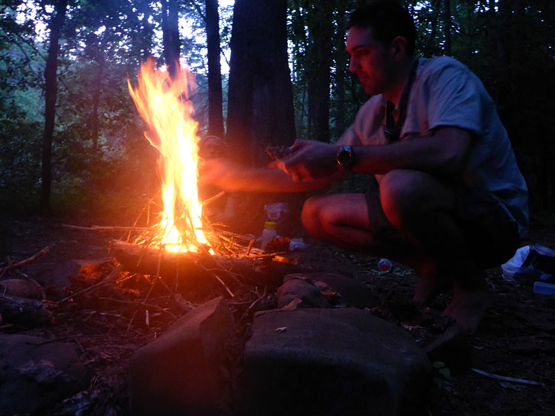
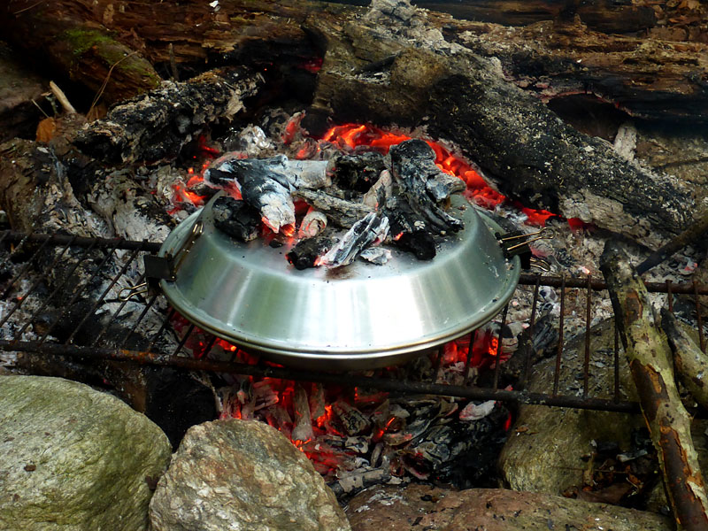
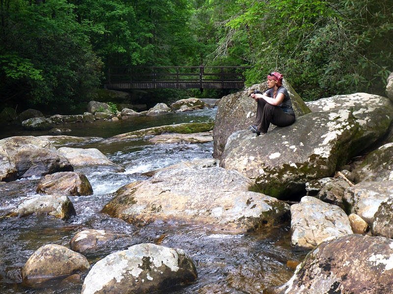
Brian, Mimi, and Upasana enjoyed a quick dip in the river. Will, Jen, and I were content to soak our feet in the cool water. Firewood was hard to come by due to the popularity of the site but we scrounged up enough to generate some coals and bake some brownies. I had brought my make-shift “dutch oven” made from some heavy-duty aluminum pie pans held together with two binder clips.
We were up at 5am and on the trail by sunrise, just past 6am. Brian had the unfortunate circumstance of catastrophic gear failure. His hammock tore through as he sat on it in the morning. He made the best of it for the rest of the trip by using a collection of sit pads and pack pads from the group and reconfigured his tarp for ground use.
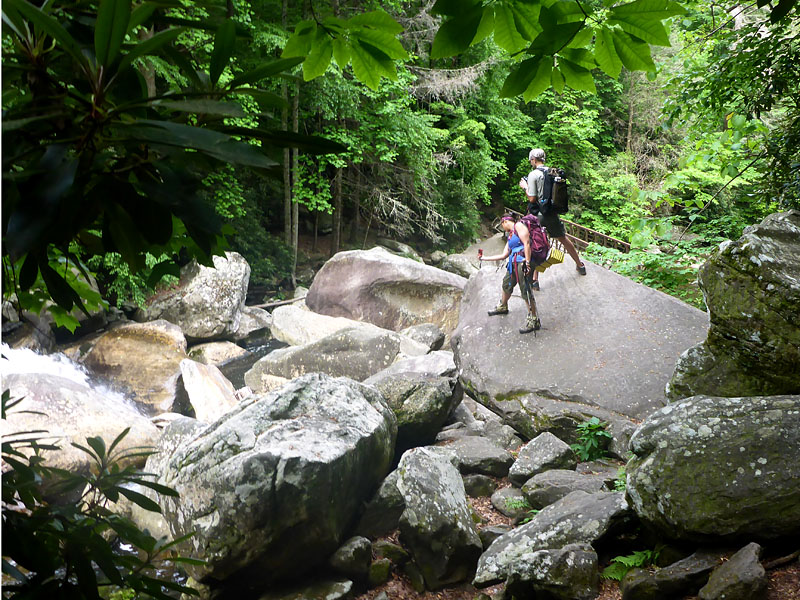
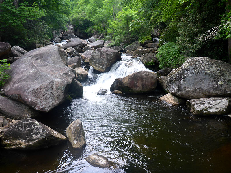
The trail along the Chatooga is very scenic and we dropped our packs many times to scramble down steep slopes to hidden rocky outcrops overhanging the river to enjoy the views and take photos. We spent a fair bit of time at Kings Creek Falls where you can approach the base and stare upwards into the spray. In the first 4 hours that day we only spent 2.5 hours hiking. The remaining time was spent enjoying the scenery. It was a constant challenge to balance hiking time and non-hiking time given the terrain and ambitious mileage. I sometimes felt like a curmudgeon rationing time at various stops.
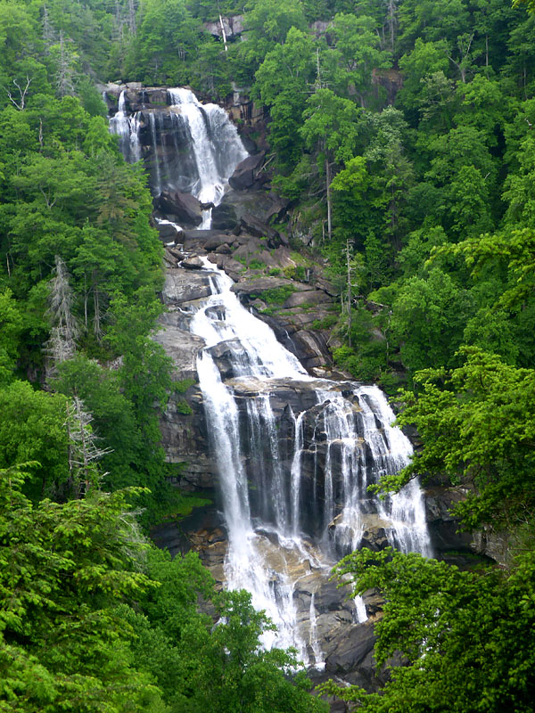
We soon passed Burrell's Ford road and began the climb up to the Fish Hatchery, dropped down to Sloan Bridge and climbed back up to the viewing platform for Upper Whitewater Falls. The 400+ foot cascade vies for tallest waterfall east of the Mississippi along with Crabtree Falls in Virginia which I’ve also seen.
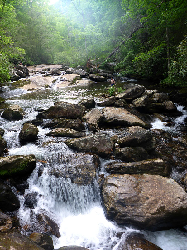
We paused on our descent along the Whitewater River to clamber across rocks or power wash in the rapids. We finally made camp a mile past Badcreek Access at a large site with a well-flowing piped spring and pre-cut firewood. My GPS died half way through the day but Will’s was working fine. The daily mileage was a bit more than 22. Blueberry muffins won the dessert lottery -- determined by whatever fit best with Mimi's meal.
Another 5 am wakeup call. Another 6am start. We backtracked a bit to take a spur trail down to see Lower Whitewater Falls. The views were partially obscured some by the green foliage but the falls are in some ways more impressive than the more popular (and much more accessible) Upper Whitewater Falls. This spur would bump us to a 20+ mile day instead of the original 18+ plan.
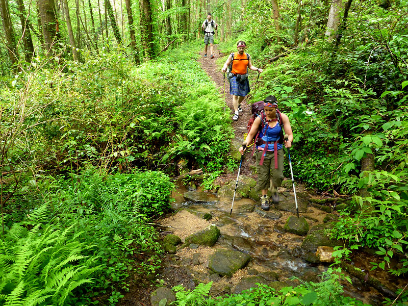
We descended to the Thompson River where another swimming opportunity was too good to pass up. We passed Bearcamp Creek and descended steeply to a surprisingly stagnant Horsepasture River for lunch. Brian enjoyed another swim and cannon balls off a large rock. We shared the spot with another group of six or so folks hiking the opposite direction, the first of a few groups we would see.
Soon we climbed the steep slope away from the river. Distant thunder rumbled and soon a light, cooling rain began to fall. We descended to Canebreak Access - a lake-side trail head on Lake Jocassee. Brian and Will went for a swim until the storm grew closer. After our regroup, with two miles to camp, the skies grew suddenly dark. We scrambled to stow cameras and extract rain gear and pack covers as the sky opened and buckets of water poured down amid flashes of lightning and bursts of thunder.
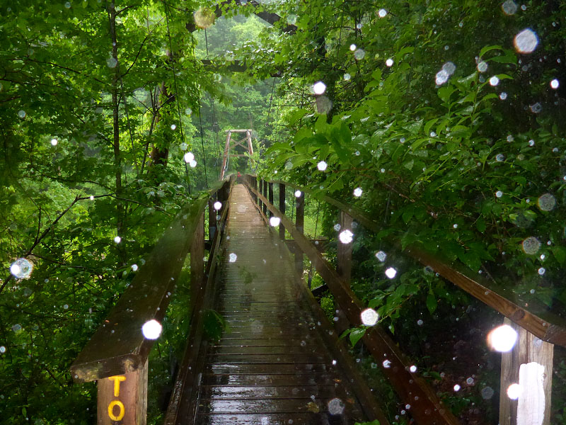
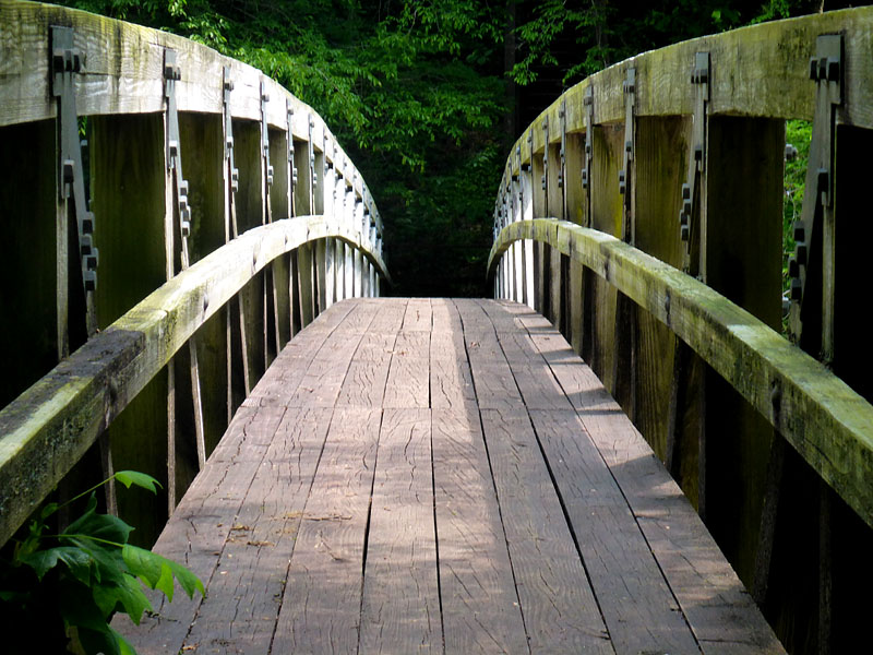
The trail instantly grew slick with a heavy mud. We tried to time the aforementioned crossing of the large suspension bridge over the Toxaway River after cracks of thunder before the sky recharged. Upasana and I crossed first as a single unit, the bridge swaying in the wind. Jen pondered the wisdom of using the heavy metal suspension as a handrail. Brian and Will made (and broke?) a pact with Mimi not to intentionally sway the bridge. We passed the large (and full) camp by Toxaway Creek where most folks were already sheltered in their tents.
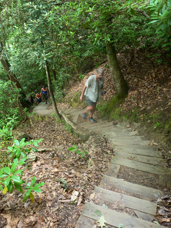
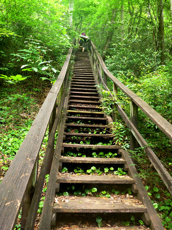
The climb over heartbreak ridge was a blur to me. With my hood down low I couldn't look up to see the never-ending climb up too-far-spaced wooden steps. Despite the effort Mimi had the presence of mind to count the wooden steps (310 she claims). By the time we reached the large camp site by Rock Creek the storm had passed. Jen's yellow Trailstar tarp seemed to attract all the light from the area and glowed brilliantly. There was a fair bit of tender stepping on sore feet as we scrounged for dry-ish firewood in the well-picked-over area.
Will and Brian, with significant effort, combined their skills to get a cheerful fire roaring. Soon everyone's clothes were steam dried by various means including worn, held, and on sticks. As a bonus I was able to get the wrinkles out of my shirt. Dessert: yellow cake, which I thought turned out particularly well. At Brian’s suggestion, next time I'll bring candy sprinkles to spice it up a bit.
Another 5am wake up call. Another 6am departure. The last full day was the hard day. The trail takes a few tricky turns on the climb from Rock Creek to Laurel Fork Falls. With heads down as we powered up some tough climbs were some near misses but we regrouped at Laurel Fork Falls and headed through the lush Laurel Valley section. We stopped to explore Virginia Hawkins Falls before the long, steep ascent to the trail head 4.7 miles away - which I mistakenly claimed was 3 miles. We're unsure if the thundering sounds were the nearing storm or Jen cursing.
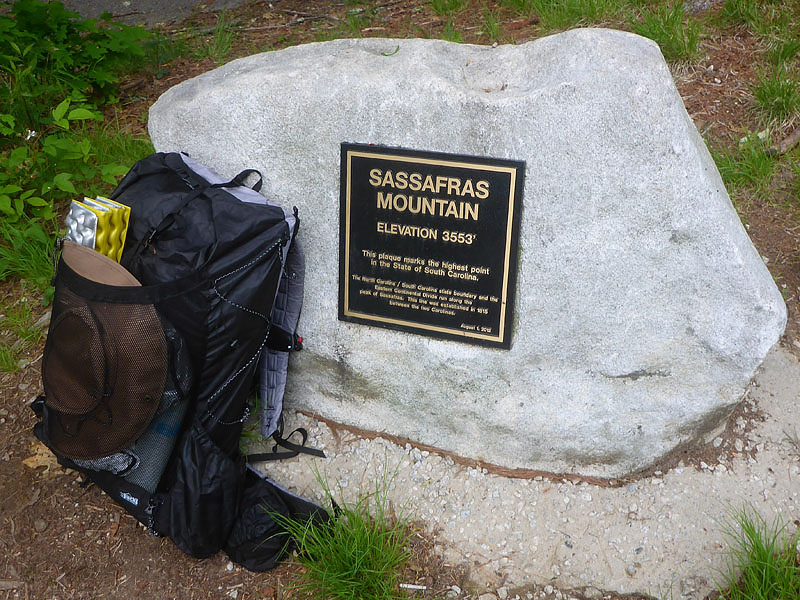
We took the optional 2.7 mile spur (5.4 miles total) to descend down Eastatoe Gorge. Rolling thunder soon turned to a light but steady rain that would continue until we exited the gorge. Soon we were climbing the 4-5 mile section to the top of Sassafras Mountain - the highest point in South Carolina at 3,553 feet.

We camped a mile or so further on down a rhododendron tunnel at the old Cantrell Homestead for at least a 22 mile day. The remains of a stone chimney still stand. A tall stone fire pit is surrounded by 7-8 stone lounge chairs, complete with arm and foot rests. We located the nearby spring and soon everyone was well situated and making dinner. As the skies darkened Jen requested (demanded?) that we turn off our head lamps which revealed the most magnificent and magical display of fireflys I've ever seen. They were everywhere, flying low along the trail and among the laurel bushes. Dessert: scones with dark chocolate chips.
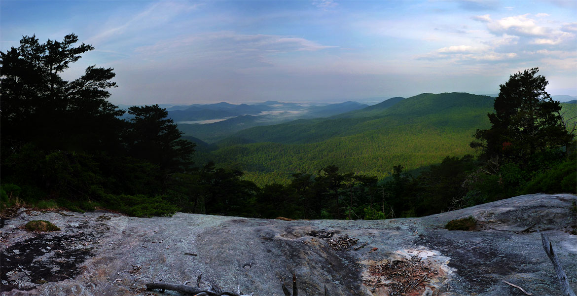
Tuesday morning was our last 5am wake-up call and our last 6am start. Will refused to don his shoes and went barefoot for the remaining 9 miles. Even at 6am it was warm and muggy and we were soon drenched in sweat as we climbed Pinnacle Mountain and enjoyed the sweeping vistas of the fog-filled valleys below. We regrouped at Bald Knob for a last group photo before the final 4 miles and 2000 foot descent to Table Rock State Park.
The Foothills Trail is a wonderful combination of tough and beautiful. The GPS data is still being analyzed but we covered at least 85 miles with about 18,000 feet of elevation gain (and subsequent loss). Our daily mileage ended up being something along the lines of 11, 22, 22, 22, 9.
After the long shuttle reversal we stopped at a nearby store for lunch and ice cream. The decor consisted of paintings of many of the waterfalls we’d just seen and several extremely large wasp nests. The Memorial Day crowd the day before had depleted their supply of chocolate but there was a sufficient supply of mint chocolate chip for our group. Upasana seemed surprised that the huge bowl before her was only two scoops but the rest of us managed to put it away pretty easily; except for Jen who went light-weight with a single scoop.
Other than the brief afternoon thunderstorms the weather was remarkably favorable with highs in the upper 70’s and lower 80’s -- relatively cool considering the season. The original predictions for the week had been low 90’s! I was pleased with my gear for the trip. My total pack weight including all gear, food for the week, and a liter of water was 22 pounds. This was much lighter than my starting weight on my December trip.
We split ways after lunch at 2pm for the long 8+ hour drive home. It shouldn’t come as a surprise given the high level of experience of each member in the group but backpacking with this crew was a dream. In the end the shared laughter, shared pain, and shared experience stick in my head more deeply than the sights and sounds of the trail.
dave.macluskie AT gmail.com